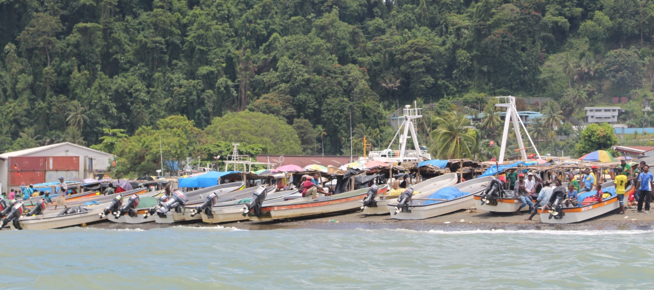
In order to provide solutions to the challenges faced, the assessment of the principal hazards, as a first step to tackling them, was of primary importance. Therefore, UNDP assigned Antea Group to study the climate risks in five pilot provinces (East Sepik, Madang, Morobe and Northern and New Ireland).
The knowledge base was created based on readily available data and the following assessments were undertaken by Antea Group and its partners:
Community risk assessment
The aim of the community risk assessment was to develop risk assessment maps at community level. This was implemented using previously tested and well documented tools and approached developed by World Vision (Antea Group’s partner in the project). Community risk assessments were conducted using a representative sample of 2 communities per district (a total of 50 communities). They provided valuable input for the province and district assessments by adding more detailed information.
Province/district hazard-vulnerability-risk assessment
Assessments at province and district level were based on various national and international data sources, specific site visits to provinces (and selected districts), data derived from models, remote sensing, etc. The outcome of this phase was a hazard-vulnerability-risk assessment report, highlighting physical, social and economic vulnerability.
Composite risk assessment
The information gathered in the previous phases was compiled following a particular methodological framework and presented to the client with the help of Composite Risk Atlas that contained map products and a report on community risk assessment.
In the final stage, the findings of all three assessments (at all levels, covering all domains) and the recommendations were presented to the client and key stakeholders at national level.
